By Cheryl Bornstein and Michael Petta
“I walk a lot. I’m a walker. I find if I don’t walk I end up in one spot.” Mitch Hedberg
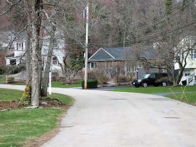
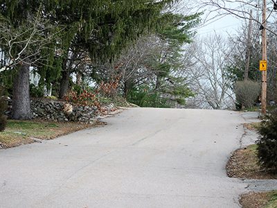
Just over three-hundred public roads wind through the small town of Westwood, MA. In 2021, we, two long-term Westwood residents, trekked each of those roads on foot. Yes. We are the first over-fifty, hominid couple to reach this prominent milestone since old man Fisher and the rest of Westwood’s founders betrayed Dedham in 1897. This week, with the arrival of National Walking Day and Westwood’s 125th birthday, we thought it a fitting time to share our pedestrian views.
You might be wondering why two sane and sober people would spend roughly four months of weekends and weeknights roaming the streets rather than doing productive things, such as scrapbooking and TV/VCR repair. There are two reasons. First, we share an unhealthy obsession with crossing items off lists (i.e., redlining). To us, every list is a checklist. Legend has it when George Mallory, the famed British mountaineer, was asked why he sought to climb Mount Everest, he replied, “Because it’s there.” For us, when items are put in a list, such as the public roads in an affluent suburban Massachusetts town, the compilation becomes another Everest, something to surmount simply because it is there.
The second reason for our hometown walkabout is a sincere, albeit nerdy, interest and belief in a life on foot. For many folks, walking as a way of life can be enriching —- a low-cost, healthy way to get around. It can benefit communities, too, by fostering a sense of connectedness, reducing various forms of pollution, and conserving natural resources. We acknowledge there is nothing trailblazing about these ideas. Yet, towns seem not to encourage pedestrianism commensurate with these obvious and well-known benefits. To put this paradox to the test, we chose to hike every road in town to evaluate first-hand Westwood’s support for a life on foot.
Sure, we have no education or experience in city planning, nutrition, economics, kinesiology, TV/VCR repair, financial management, or environmental science. But, between the two of us, we have watched every episode of "Psych" and read "The Lord of the Rings" at least five times. We pretty much know what we are talking about. Onward.
Returning to our redlining obsession, in its 2019 online street atlas, Westwood keeps its official list of the 303 public streets in town. That index was our checklist. To check a road off this list, we had to walk the road’s full length in one session on a single day. Simple rule.
If Westwood’s streets were strung together into a single road, it would stretch about 92 miles. Due to unavoidable backtracking, we accumulated about 156 miles under foot, roughly the distance between Westwood and Montpelier, VT, as the crow flies. We began on March 6 and finished on July 10, 2021, walking mostly on weekends. It took us 67.5 hours. Surprisingly, there was little fanfare as we crossed the finish line at the corner of East and Washington Streets.
Missing pageantry aside, there remains the analytical part of the story —- understanding how well Westwood provides for a pedestrian life. A road that supports a pedestrian life offers more than a place to take a pleasant walk. To the contrary, a road that supports life on foot provides safe pedestrian pathways to essential goods, services, public transit, and recreation. This is because a quality pedestrian life depends on feet as the primary mode of transport, as opposed to a vehicle, to maintain a good standard of living. With these tenets in mind, codified into an exceedingly geeky grading system too embarrassing to disclose, we assigned each street in Westwood a pedestrian life score and then ranked the roads based on their grades.
Before moving to the rankings, it is important to underscore that our focus is pedestrianism. Westwood is a great place to live, and the town does not need amateurs assessing property values, crime rates, noise pollution, TV/VCR repair, taxes, or the school system. Local realtors are experts with that. Our inquiry is just about walking as a matter of routine. Without further ado, here are our top ten Westwood roads for a pedestrian life: Dean Avenue, Pettigrew Place, Fairview Street, Strafford Place, Dean Street, Beacon Street, Ridgewood Road, Brookfield Road, Park Circle, and Hillcrest Place.
Safety is paramount to a pedestrian life. A road lined with hospitable properties has little utility to a walker when there is high risk of being hit by a car. So, we looked first-hand at road widths and curves, typical vehicle speeds and volume, crosswalk locations, and sidewalk coverage. From that, we identified 32 streets where cars reign and sidewalks become indispensable for walker safety. Only two of these roads, University Avenue and Washington Street, have 100 percent sidewalk coverage. In our opinions, Westwood can and should do more to establish complete sidewalk coverage on its busiest roads. Here are the ten most dangerous roads for walkers —- they should use these streets sparingly until sidewalks are built: Canton Street, Clapboardtree Street, Gay Street, Fox Hill Street, Dover Road, Brook Street, Summer Street, Thatcher Street, Milk Street, and Everett Street.
Walking every road in Westwood, one learns many interesting facts about the town’s streets. It is an eclectic place with a road for each season —- Winter Street, Winter Terrace, Spring Lane, Summer Street, Autumn Drive, and Autumn Lane. Of the hundreds of roads we trekked, 42 use names of people, 36 are named for trees, and 12 are named after animals.
Westwood also has an enchanted side. Two roads exist in alternate dimensions, their residents living in split worlds, with neither side knowing which is the real Carroll Avenue and the real Birch Street. There are also two mysterious “ghost roads” on the official list. One could walk for hours and never find Moodie Street and Creston Avenue. Paradoxically, there are seven roads in Westwood that can be reached only by first leaving town.
If we were to give out awards, we would name Grove Street as the most scenic. Stonegate Lane, Gay Farm Way, Sandy Valley Road, and Willett Pond Drive also score quite high on our curb appeal chart. All roads in the “maze” are great for a neighborhood walk, as we discussed one April morning with Todd and Alyssa, who came from Thatcher Street for a stroll. High Street wins the longest road award at 4.04 miles. Meanwhile, at .023 miles, Transit Square wins the award for the shortest, and perhaps obscurest, road. Finally, Boston Providence Pike earns the longest name award, while six roads tie for the prize for the shortest name.
Whether you prefer streets named for birds or one of the few unpaved roads, go stroll around town this week in honor of Westwood’s 125th birthday and National Walking Day. You need not redline every road nor invent an intricate score sheet. Just get out and walk. And, if you see a German Shepherd named Oliver on Dayton Ave., tell him we said hello.


